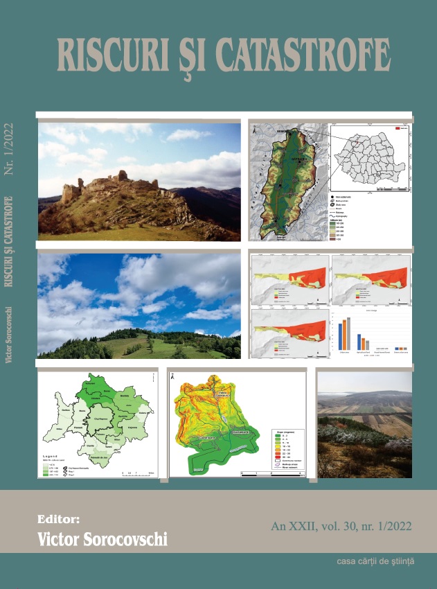
The Probability of Landslides in the Territorial Administrative Unit of Cuzdrioara.
The Probability of Landslides in the Territorial Administrative Unit of Cuzdrioara.
Author(s): Gheorghe Roșian, Csaba Horváth, Liviu Muntean, Rozalia BenedekSubject(s): Geography, Regional studies, Physical Geopgraphy, Environmental Geography, Geomatics
Published by: Editura Casa Cărții de Știință
Keywords: landslide; probability; planning;
Summary/Abstract: The location of the Cuzdrioara Territorial Administrative Unit in the northern part of the Transylvanian Basin, at the meeting position of the Someșan Plateau and the Someșului Mare Corridor, indicates the existence of a fluvial relief. It is characterized by the presence of an alternation of valley passes and interfluvial passes, between which the connection is made through slopes. Their presence, to which are added the particularities of the geological substratum and land use, indicates the existence of some surfaces susceptible to landslides. To identify them, GIS techniques were used, which implied processing the existing information to obtain the map of landslide probability. It will be one of the necessary tools for the management of the hazardous phenomena created by landslides. At the same time, the information obtained can be used by decision-makers in the current and future urban planning actions.
Journal: REVISTA RISCURI SI CATASTROFE
- Issue Year: 30/2022
- Issue No: 1
- Page Range: 85-95
- Page Count: 11
- Language: English