Pons per Danuvium ductus.Date noi despre podul lui Constantin cel Mare dintre Oescus și Sucidava
Pons per Danuvium ductus. New data for the bridge of Constantine I between Oescus and Sucidava
Author(s): Ioan I. C. Opriş, Alexandru Dan Ionescu, Adrian Constantin Surleanu, Andrei Eugen Stănișteanu, Mihai Dragomir, Cătălin George Simion, Alexandru Ioan Cercel, Vicențiu Speriatu, Cătălin Dobrinescu, Adrian Șerbănescu, Vlad CălinaSubject(s): History, Archaeology, Ancient World
Published by: MUZEUL NAȚIONAL DE ISTORIE A ROMÂNIEI
Keywords: Constantine I; Roman bridge; Oescus-Sucidava; bathymetry; geomagnetic survey;
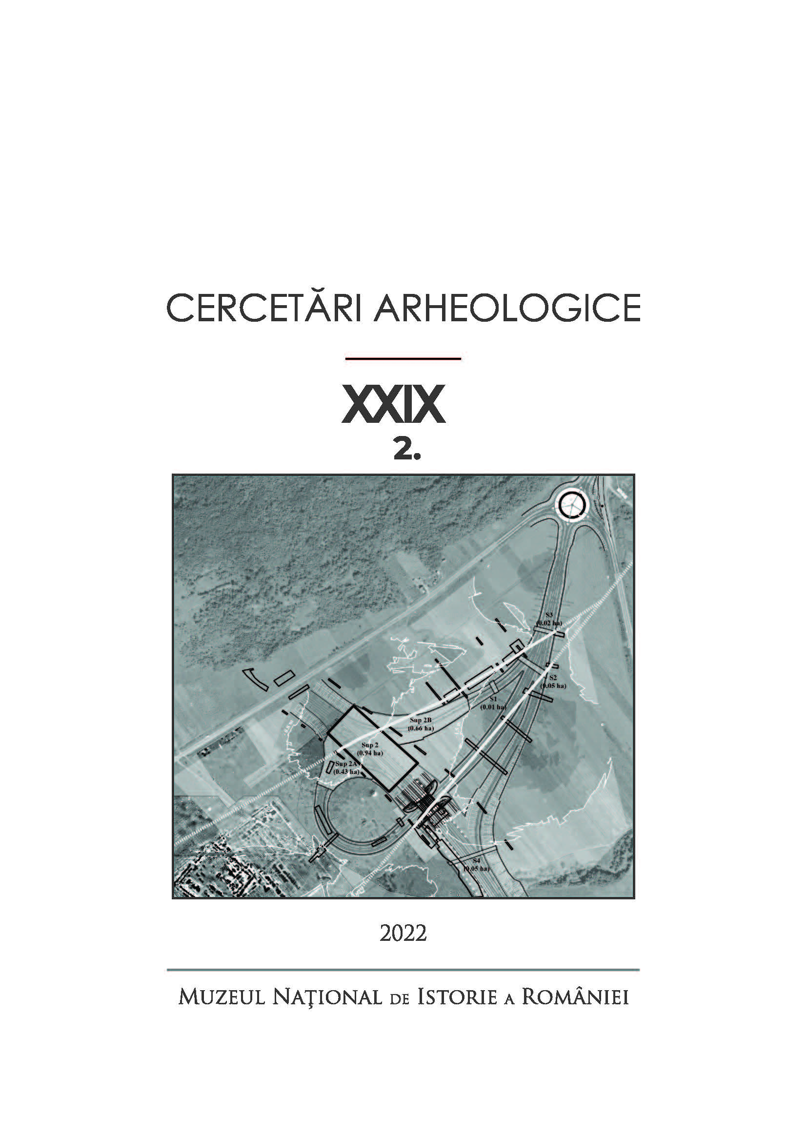
Summary/Abstract: Constantine the Great inaugurated his bridge across the Danube between Oescus (Ghighen) and Sucidava (Celei) on July 5, 328. It was first mentioned by Sextus Aurelius Victor, in Liber de Caesaribus, 41.18, and then by late chronographers during the VII th - IX th centuries (Chronicon Pascale, I, 526, 16-17 (P 284) and Theophanes Confessor in Chronographia, a. 5820 (328), p. 28, (19-20 De Boor). The great constructive moment also appears during the 11th century in the chronicle compiled by the Byzantine monk Georgios Kedrenos, Synopsis historion (Synoptic History, also commonly rendered as A Concise History of the World). The bridge was subsequently suggested or explicitly rendered in the Index Geographicus Celsissimi Principatus Wallachiae - Map of Wallachia of vel Stolnic [High Steward] Constantin Cantacuzino by the end of the 17th century, and shortly after that in the „Istoria delle moderne rivoluzioni della Valachia” (1718, Venice). The latter was written by Anton Maria Del Chiaro, who was Constantin Brâncoveanu`s, Prince of Wallachia (1688-1714), personal secretary. Called „the brass bridge” by the local people on both banks of the Danube, according to a popular belief that its legs would have been cast from metal, the bridge was in olden times attributed to Trajan. In local folklore, the ”Domnul de Rouă” (Lord of Dew) would have passed on its wooden platform during the night, toward the Romanați Plain, heading to the courts of Ler Împărat from the fortress of Antina (Romula/ Reșca). The bridge of Constantine the Great is also mentioned in the second half of the 19th century in the monograph of Felix Kanitz, based upon information collected from the locals and from the pilots of the Vienna Danube Steam Navigation Society (Erste Donau-Dampfschiffahrts-Gesellschaft - the DDSG). One of the masonry pillars of the bridge on the fairway close to the Romanian shore was mentioned in July 1869 by passionate journalist and amateur archaeologist Cezar Bolliac; a mere four years later, his archaeological sleuthing culminated in the discovery of the bridge’s northern portal. Quickly covered with soil and waste discharged from the hillside of Celei village, the portal was reinvestigated by Pamfil Polonic and Grigore Tocilescu during a two-month campaign, between June 16 and August 15, 1898. We owe the 1902 publication of those results to the latter, based on the rigorous observations and detailed drawings of topographical engineer Pamfil Polonic. Only in the summer of 1968, Dumitru Tudor coordinated excavations whose precise purpose was to document again the northern portal and to check the neighboring southward pillar(s). The results of these investigations have been relatively modest, but still provide welcome additional information. They were later found in an article by Octavian Toropu and several monographic studies on the site and the Roman bridges on the Lower Danube, primarily due to Dumitru Tudor. Our contribution makes a critical review of all historical and archaeological data pertinent to the bridge of Constantine the Great at Oescus-Sucidava. It introduces as elements of absolute novelty for specialized literature the results of the bathymetry carried out in 2017 through the Danube bed and those of the magnetometric survey (October 2022) in the floodplain on the left bank of the river, today a communal pasture. Thus, within the FAST DANUBE Project, the team of specialists from Marine Research carried out bathymetric measurements with multibeam sonar, on which occasion they identified 27 possible traces (pillars) of the Constantine I Bridge erected between Oescus and Sucidava. The traces of the piles stretch along a linear route for 820 m, while the average distance between them is around 30 m. Additional magnetometric investigations were carried out in the fall of 2022, between the northern portal, the ancient tributary and the mouth of Bozahuzului (from Tr. boğaz, mouth, narrow strait or entrance), also called Banului, or Celeiului backwater. Their result consisted in the identification of seven other anomalies (pillars) due to the Constantinian bridge, over a length of approx. 210 m. The respective anomalies show a rigorous alignment with the northern portal and the masonry piles highlighted by the bathymetry carried out through the Danube bed, and the distance between them is, again, identical.
Journal: Cercetări Arheologice
- Issue Year: XXIX/2022
- Issue No: 2
- Page Range: 631-664
- Page Count: 34
- Language: Romanian

