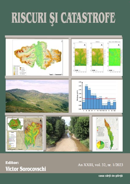
Analysis of floods in the Cotmeana catchment based on statistical and geographic information systems (G.I.S.) methods
Analysis of floods in the Cotmeana catchment based on statistical and geographic information systems (G.I.S.) methods
Author(s): COSTACHE MIHNEA-ȘTEFANSubject(s): Geography, Regional studies, Physical Geopgraphy, Environmental Geography, Applied Geography
Published by: Editura Casa Cărții de Știință
Keywords: Cotmeana river basin;Flash Flood Potential Index; floods;statistical analysis;
Summary/Abstract: Knowing the characteristics of floods, as well as the risk areas where they can occur, is nowadays of a major importance for the management of watersheds most affected by water-related hazards. This study aims, on the one hand, to analyze the floods produced in the last 5 decades on the Cotmeana river, and on the other hand, to map the zones where the flash floods can occur in the Cotmeana catchment. The Cotmeana River is located in the central-southern part of Romania, being a tributary of the Vedea River. It has a length of 93 km and a basin area of 495 km². The study is based on statistical processing of the hydrological data series from Ciobani hydrometric station on Cotmeana river from 1964 to 2014. The data was provided by the Argeș-Vedea Water Basin Administration (WBA), which includes annual and monthly data of the maximum discharge, as well as hourly discharge series of selected flood events. The floods were analyzed based on their hydrographs and with the help of statistical processing, the return periods of the maximum flows corresponding to the annual floods were calculated. In ArcGisPro environment, the areas susceptible to flash floods were identified and spatialized with the help of a slightly modified version of the Flash Flood Potential Index (FFPI). This index integrates a series of physical-geographic parameters such as slope, lithology, land use, soil texture, density of the hydrographic network, LS factor, etc., thus allowing the determination of the areas with the greatest susceptibility in terms of the production of flash floods. Apart from the morphographic parameters, frequently used in previous studies, in this study, two important factors in the genesis of floods were included in the calculation of the FFPI: rainfall and snow depth, resulting in a higher susceptibility in the north of the basin.
Journal: REVISTA RISCURI SI CATASTROFE
- Issue Year: 32/2023
- Issue No: 1
- Page Range: 69-85
- Page Count: 16
- Language: English

