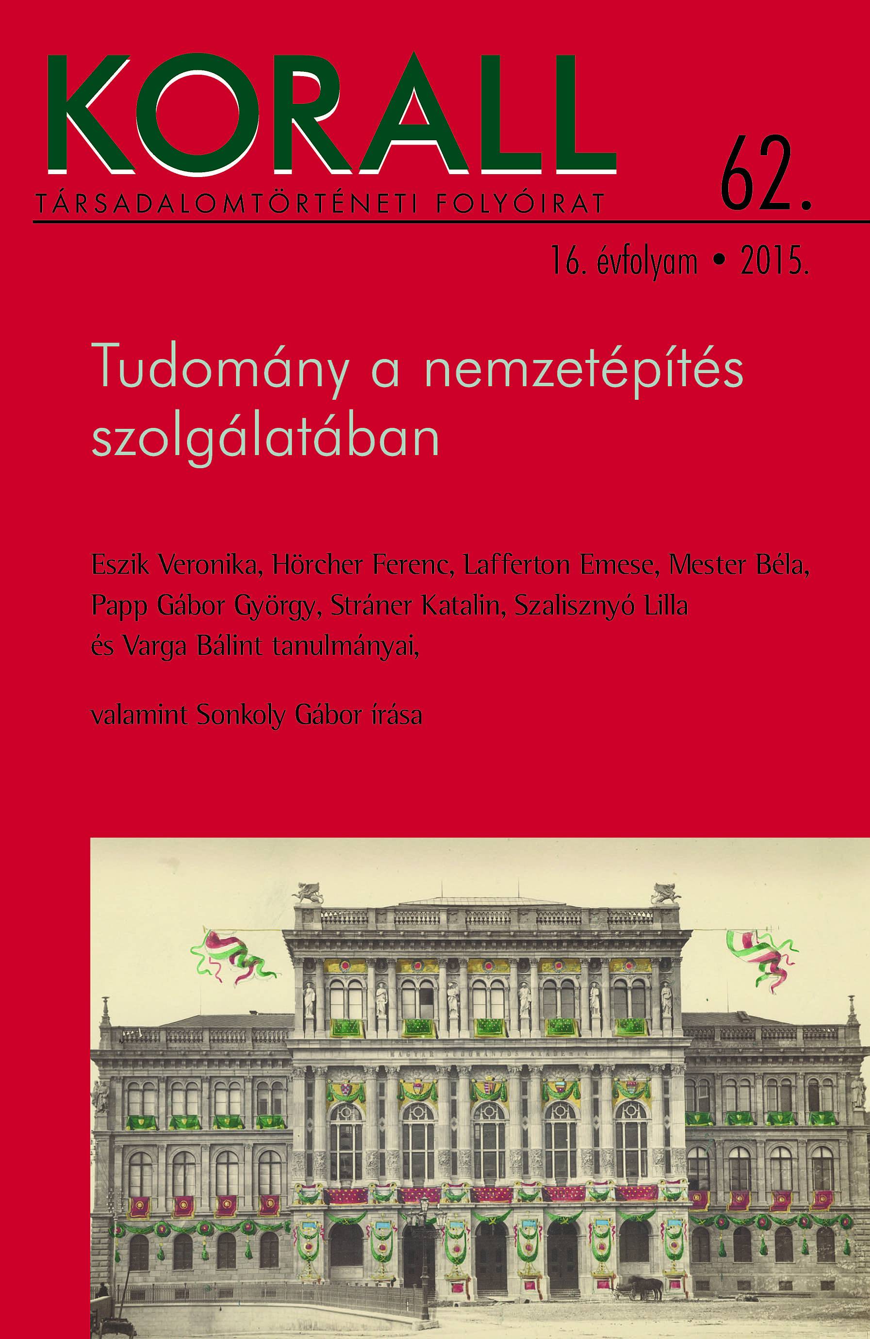
A magyar–horvát tengermellék mint nemzetiesített táj.
The Hungarian-Croatian Coast as a Nationalized Landscape
Remarks on the Relationship between Institutionalising Geography and Nation-Building
Author(s): Veronika EszikSubject(s): History, Cultural history, Ethnohistory, Political history, 19th Century
Published by: KORALL Társadalomtörténeti Egyesület
Keywords: history ;Hungary; Croatia; Hungarian nation state; Hungarian Coast; geographical sciences
Summary/Abstract: The study examines the role of Hungarian-Croatian coast as a landscape construct (an image of a landscape created by social, political and cultural processes) in the collective imagination of the nation, as well as the role of institutionalising geographical scholarship in the construction of this image. The literature on (re)creating landscapes along nationalistic agendas is abundant. With regard to territorial representations of the Hungarian nation state, the present study relies mainly on the work of Réka Albert and Levente T. Szabó, who studied the symbolic role of landscapes in national self-representation in connection with the Great Plain and Transylvania. As Róbert Keményfi points out, Hungarian geographical scholarship has constructed a centrifugal view, whereby the territory of the state is identical with the Carpathian Basin, observed from the angle of the state-forming nation’s central dwelling area. Besides the obvious political reasons, this can also be explained by the fact that basic geographical research on the ethnic peripheries of Hungary was yet to commence. This, however, is not entirely true for Croatia: due to Hungarian imperialistic power struggles official scholarship of the Balkans did in fact start in this period, partly based in Fiume (now Rijeka in Croatia). As a result of these early efforts, the contemporary scholarly output in the geographical sciences provides rich source material for modern scholarship. The present study relies on two types of sources: contemporary press, including articles published in the Fiume-based weekly Magyar Tengerpart (Hungarian Coast), as well as the popular science publications of the Hungarian Geographical Society (founded in 1872) and articles published in its journal Földrajzi Közlemények (Studies in Geography). After Edward W. Said’s paradigmatic work it has become a commonplace that the scholarly research and knowledge of any given space is one of the primary tools of power over that territory: a kind of ‘geographical violation’ which provides those in power with practical information and takes part in the ideological legitimation of exercising their power at the same time. Although Said’s observation primarily concerns spaces demarcated, named, and through these gestures, governed specifically by colonial powers, the present study of creating loci of power employs his methodology of spatial analysis, also found in other contributions in the field of (post)colonial studies. Geographical knowledge shaping both political practice and national imagination was one of the most important instruments in constructing the nationalized space of Hungary and the complex spatial structure, civil code and ethnic composition of the Adriatic region provides an apt terrain to explore the birth of this construct.
Journal: Korall - Társadalomtörténeti folyóirat
- Issue Year: 2015
- Issue No: 62
- Page Range: 75-96
- Page Count: 22
- Language: Hungarian

