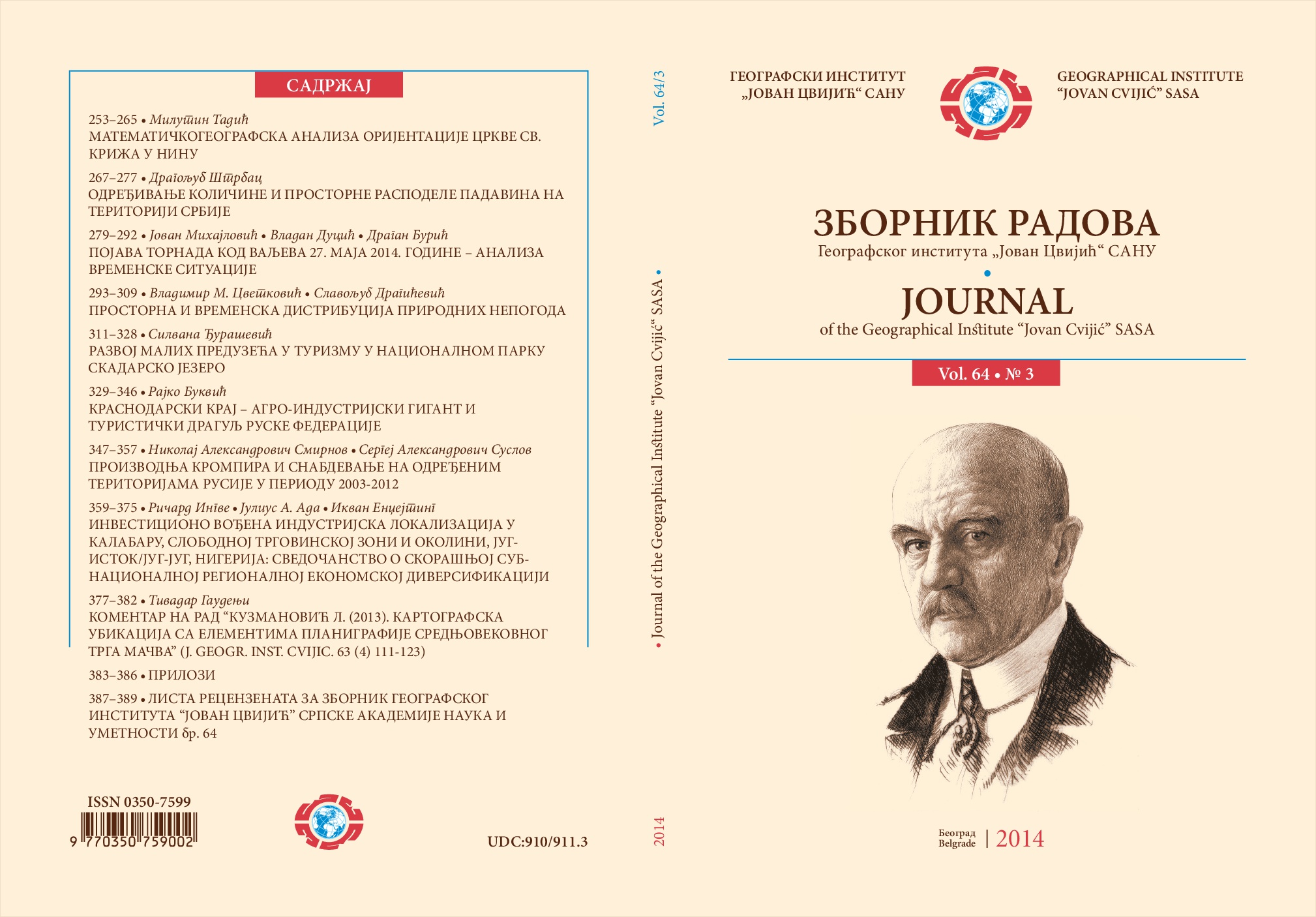
Mathematical-Geographical Analysis Of Orientation Of Church Of The Holy Cross In Nin
Mathematical-Geographical Analysis Of Orientation Of Church Of The Holy Cross In Nin
Author(s): Milutin TadićSubject(s): History of Church(es), Geography, Regional studies, Middle Ages
Published by: Географски институт »Јован Цвијић« САНУ
Keywords: Church of the Holy Cross; mathematical geography; orientation; Middle Ages;
Summary/Abstract: The paper contains mathematical-geographical and topographical analysis of the medieval XI century church of the Holy Cross in the city of Nin (Croatia). The motive for performing the analysis was a widely accepted opinion, which was based on the statements presented in the book “Number of the Light” (Pejaković, 1978) - that the orientation of the church has a solar meaning, or, more precisely, that the obvious irregularities in the construction of the church were a result of the master builder’s intention to create a building which would simultaneously serve as a house of prayer, a calendar and a sundial. However, the results of this analysis do not prove this tempting story: the orientation of the church of the Holy Cross is dictated by the orientation of the surrounding earlier buildings, in the midst of which the church was constructed, while the distortions of the ground plan are a consequence of the medieval master builder’s lack of education (and not of his intention to adapt the ground plan to the geometry of the Sun). Although it is a misperception, the theory on the solar meaning of orientation of the church of the Holy Cross is not completely without meaning: for the first time on the territory of ex Yugoslavia, this theory drew attention to the importance of investigating the meaning of orientation of medieval churches.
Journal: Зборник радова Географског института "Јован Цвијић" САНУ
- Issue Year: 64/2014
- Issue No: 3
- Page Range: 253-265
- Page Count: 13
- Language: English

