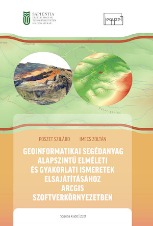
Geoinformatikai segédanyag alpszintű elméleti és gyakorlati ismeretek elsajátításához ArcGIS szoftverkörnyezetben
Teaching aid for acquiring basic theoretical and practical knowledge of geographic information systems using ArcGIS software
Author(s): Szilárd Poszet, Zoltán Imecs
Subject(s): Social Sciences, Education, Geography, Regional studies, Maps / Cartography
Published by: Scientia Kiadó
Keywords: teaching of geoinformatics; ArcGIS system;
Summary/Abstract: The nature of theoretical and practical materials supporting the teaching of geoinformatics varies widely, from step-by-step descriptive explanations to aids provided by various video sharers. When compiling the present materials we have mainly sought to enable students to deepen their knowledge and improve their understanding by solving specific tasks while gradually grasping the various functions of the program. It provides a starting point for those who have developed an intrest in this world of rapidly evolving, ever- changing and practically adaptable discipline, in order to move to a higher level in applying the programmes. The notes support the practical studies of the students in basic education, supporting the topics of the lectures by providing theoretical material in addition to the practical foundations. Primarily, we have kept in mind that the content of the notes should follow a logical way of thinking. It begins with the simplest basic functions (so that those who have not worked using similar programs yet can get used to it as well), and then, while solving increasingly complex tasks, students will be able to perform simpler analyzes by the end of the course. In the first chapter, students will be introduced to the most basic concepts, the toolbar of the ArcGIS system and the options for configuring the signal system of map objects.In the second chapter, while carrying out various tasks, we learn about the processing of data of the World and Romania and the ways of editing maps. Of course, a geoinformatics practical material like this cannot be finalized. It is an ongoingly expanding and constantly changing discipline depending on the needs and the level of interest.
Series: Jegyzetek
- Print-ISBN-13: 978-606-975-043-8
- Page Count: 144
- Publication Year: 2021
- Language: Hungarian
- Table of Content
- Introduction
- eBook-PDF
- Sample-PDF

