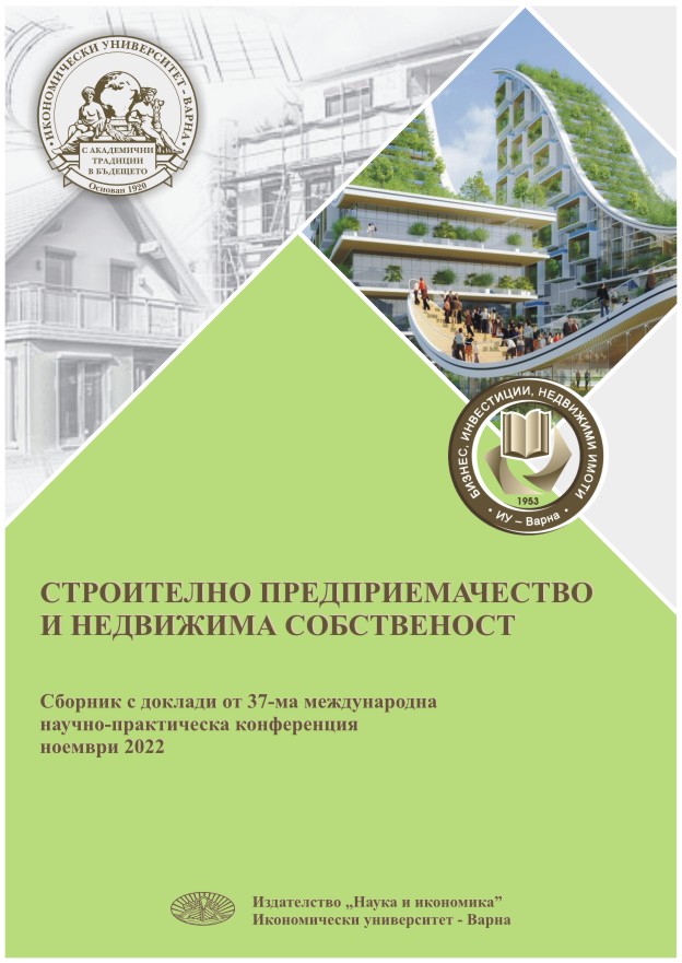
ПРОСТРАНСТВЕНИ ДАННИ ЗА ЕФЕКТИВНО ПЛАНИРАНЕ И УПРАВЛЕНИЕ НА ТЕРИТОРИЯТА
SPATIAL DATA FOR EFFECTIVE PLANNING AND MANAGEMENT
Author(s): Yanitsa Yankova
Subject(s): Economy, Essay|Book Review |Scientific Life, Conference Report, ICT Information and Communications Technologies
Published by: Икономически университет - Варна
Keywords: Property rights; Restrictions and responsibilities; Spatial data; Effective analysis; Urban planning and management
Summary/Abstract: In recent years, the rapid pace of urbanization has led to the use of spaces below and above the earth's surface more and more often. This makes issues related to property rights, restrictions and responsibilities on properties with different functional purposes extremely important. On the other hand, the development of modern methods and technologies for spatial data acquisition provides ever greater opportunities for a detailed presentation of our surrounding environment and the performance of effective analysis. The possibilities for the realization of 3D cadastre are growing. Like traditional surveying methods, laser scanning, the use of unmanned aerial vehicles to create 3D models, the use of 3D cameras are becoming increasingly used in practice and are very effective. The amount of spatial information collected through the listed methods is much larger. This, in turn, necessitates their implementation in a spatial database and the development of methods and operations for their processing and analysis. The development of smart cities that use different methods and sensors to collect spatial information supports a number of administrative activities, effective territory management, development of sustainable policies for spatial planning and risk assessment.
- Page Range: 174-180
- Page Count: 7
- Publication Year: 2022
- Language: Bulgarian
- Content File-PDF

