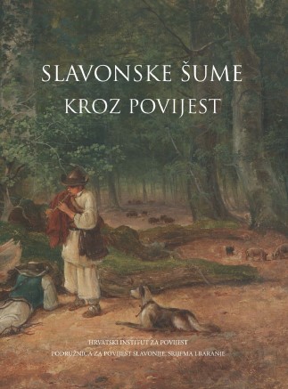
Šume vukovarskog vlastelinstva u 18. stoljeću prema kartografskim izvorima
The Forests of the Vukovar Manor in the 18th Century according to Cartographic Sources
Author(s): Ante Grubišić
Subject(s): Environmental Geography, Maps / Cartography, 18th Century
Published by: Hrvatski institut za povijest
Keywords: Vukovar estate; forests; cartographic sources; Johann Philipp Frast;
Summary/Abstract: The aim of this article is to contribute to the history of manorial cartography, using the example of cartographic sources of the Vukovar manor from the 18th century and to make an attempt to reconstruct the condition of the wooded areas in the early period of the history of estates, as well as to depict the dynamics of the disappearance of estate forests by the comparison of cartographic sources and the supporting documents of large-sized maps from the beginning and the end of the 18th century visually and by statistic data. The paper discusses the emergence of cartographic sources, especially those of Johann Philipp Frast, who was the most significant modern surveyor and map-maker in eastern Slavonia.
- Page Range: 147-192
- Page Count: 46
- Publication Year: 2018
- Language: Croatian
- Content File-PDF

