We kindly inform you that, as long as the subject affiliation of our 300.000+ articles is in progress, you might get unsufficient or no results on your third level or second level search. In this case, please broaden your search criteria.


Cartographic generalization of the rivers is a very complex process in cartography. Cartographic generalization involves reduction of water flows, their length, width and the density of river basin with the reducing of the map scale. In this study we analyzed the ratio of the density of river basin and the size of the degree of generalization of the maps of different scale. The example is the Velika Morava river basin. Based on the results given here we get to the basic regularities of proportion of the degree of generalization of the density of river basin.
More...
Z przestrzenią symboliczną wiąże się zazwyczaj treści kulturowe i duchowe, znajdujące odzwierciedlenie w zapisie czy krajobrazie przestrzennym. Dotyczą one – między innymi – pielęgnowania przeszłości i tradycji, wzmacniania lub budowania identyfikacji z terenem, tworzenia jego lokalnej specyfiki, poszukiwania i odkrywania kulturowej tożsamości. Przestrzeń symboliczna z wpisanym kodem semantycznym i aksjologicznym znalazła swoje miejsce także w europejskiej kartografii regionalnej, od najwcześniejszych map poczynając. Szczególnie ciekawie zaznaczyła swą obecność na mapach regionów historyczno-geograficznych, ukształtowanych w naturalnym procesie rozwojowym. Ich mieszkańcy, posiadając wysoki stopień regionalnej świadomości i znaczący dorobek kulturowy, czuli potrzebę przestrzennego zobrazowania tych wartości. Do takich obszarów zaliczał się Śląsk. W artykule na przykładzie map Śląska od XVI do XVIII w. pokazano różnorodne przykłady realizacji tej specyficznej potrzeby zaznaczania kulturowej odrębności. Podporządkowano je hasłom, które złożyły się na układ treści. Pierwsze z nich zobrazowało ambicje oświatowe i intelektualne Ślązaków na przykładzie informacji o pierwszej szkole, zamieszczonej na mapie M. Helwiga i korekty tego przekazu na pierwszej mapie gospodarczej regionu K.F Hentschela. Kolejno przybliżono społeczne potrzeby: kulturowej identyfikacji z terenem, pamięci o wartościach duchowych i materialnych, dumy z egzekwowania prawa (na przykładzie planów Głogowa i Wrocławia) oraz kształtowania legendy miejsc, które stawały się wizytówką lokalnej społeczności (ogród Scholtza we Wrocławiu). Wskazano także na pojawiające się na mapach przejawy resentymentów politycznych, związanych ze zmianami granic Śląska (enklawa świebodzińska na mapie J.J. Lidla). Przedstawione przykłady pozwoliły również na zasygnalizowanie szerszego problemu badawczego – wpływu uwarunkowań przestrzennych na treści i formy przekazów kulturowych, do jakich niewątpliwie należy dawna twórczość kartograficzna.
More...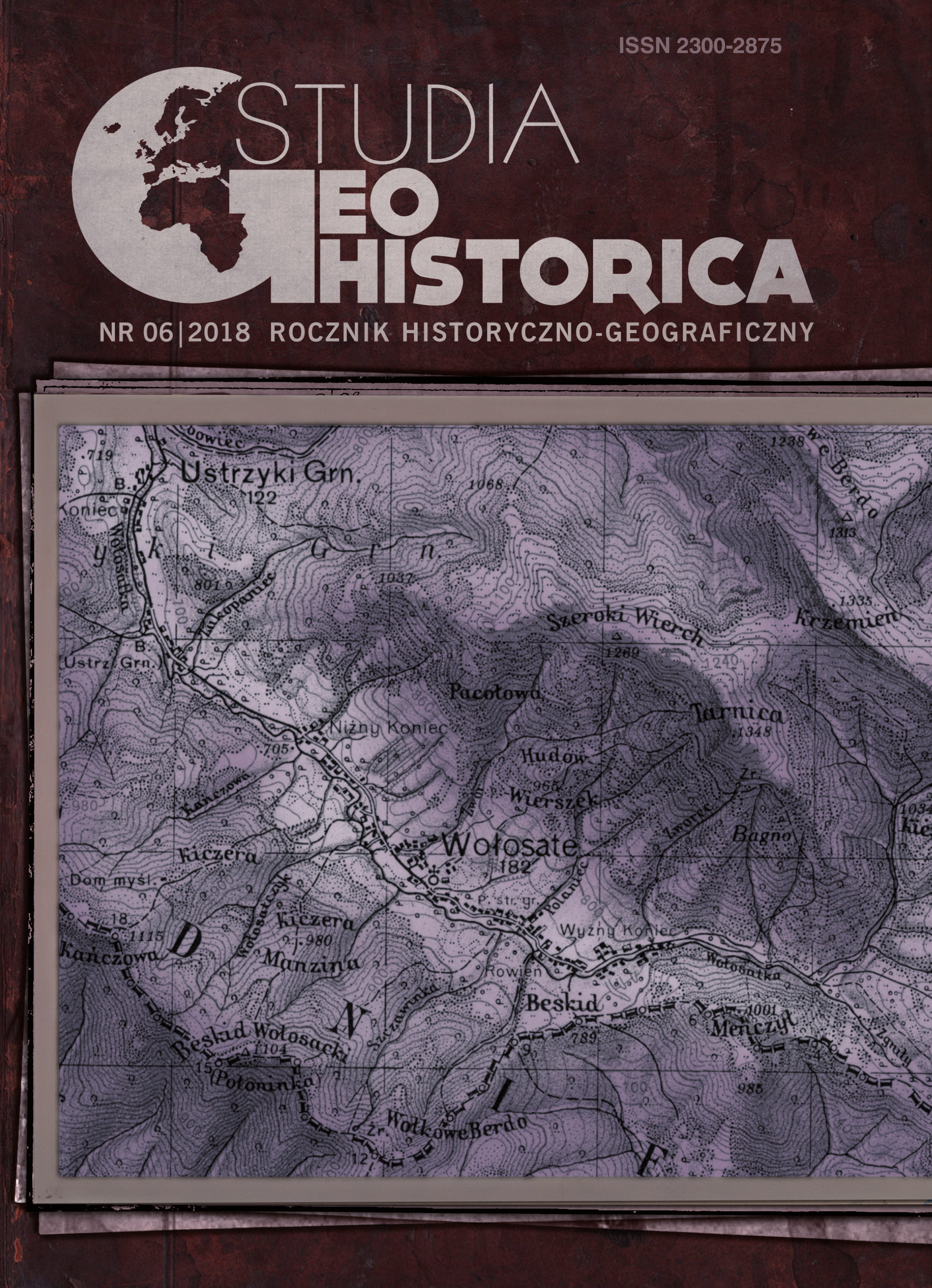
Studying the historical urban topography requires addressing the maps and city plans from a particular time period. Due to the fact that the city plans of the locations, in what is present-day western Ukraine, only begun being developed in the 17th and 18th century, a need to formulate a method of creating reconstruction maps for the previous periods of time has emerged. Such a method is based on retrospective comparisons of the written sources with the cartographic, iconographic, toponimic (urbanonimic), and archaeological ones. The following article tackles the problem of reconstructing historical topography using the retrospective method in the case of Lviv and other, smaller towns in the region. The historical topography and its methods are closely connected with historical geography and methodology implemented therein. Both fields aim to illustrate historical events on the map, which allows for depictions of the cultural landscape. The most important sources, fundamental for the research presented, are the Josephine topographical maps of Galicia and Josephine Land’s cadastration comprising the registers of all the 18th century properties. Their comparison with the earlier sources enables, to some extent, the identification of settlements, built-up areas, and elements of the landscape dating back to the Modern Period, or even the late Middle Ages, while contrasting them with both the Franciscan Cadastre and the 19th and 20th century indexes allows for the location of the current addresses. It is worth mentioning that, in such studies, the cartographical sources are indispensable, the iconographic ones are of a secondary, ancillary role, and the urbanonimic sources are of the greatest value. The method presented can be applied to the historical- -topographical analyses of the cities of the whole former Austrian and Austro-Hungarian Empire.
More...
Obtaining an improved construction quality, choosing optimal solutions from the socio-economic point of view, can be attained by completing the strength and stability calculation with laboratory experimental research on models and with measurements and observations on constructions at full scale, made by means of machines and high-tech methods. Geodetic methods, by the high precision of measurements as well as the methods for data processing and estimation of the quality of results, represent a basic system in the extensive process of experimental study of constructions, in many respects being irreplaceable. The paper introduces a direct calculation algorithm of the horizontal deformation vector of the studied construction, using precision geodetic measurements, the method of conditional measurements and a mathematical model to estimate accuracy results.
More...
The determination of the vector of horizontal deformations of the studied constructions, subjected to a complex of static and dynamic forces, is done by several geodetic precision methods, the most used in the case of massive constructions being micro-triangulation. It also includes fixed / station points, made in non-deflecting soils and outside the area of influence of the studied construction. From these, cyclic geodesic measurements are made to the control points fixed on the construction, which change their spatial position with the construction. Based on the angular and linear cyclical measurements, the vector of the horizontal deformation at each control point on the construction is determined. In this sense, the station points must have a fixed position in space, so that the differences between the cyclical measurements to be only due to the changes in the position of the studied construction.In conclusion, in each observation cycle it is mandatory to check / test the stability conditions in the position of the fixed station points, against which the positions of the control points on the construction are reported. There are presented some ways to test station point stability with respect to the reference and orientation points, within the time interval between two observation cycles.
More...
The evolution of technology has led to significant advances enabling the development of precision laser scanning technology. LiDAR technology involves scanning a surface with laser waves. The ability to process dense point clouds in an efficient and cost-effective manner has facilitated a multitude of 3D data acquisition applications. This paper presents the ongoing project “Geographical Information for the Environment, Climate Change and EU Integration” LAKI II and some applications derived from it. One of the applications is the flooding risk analysis using LiDAR technology based products. Another application is the fusion of data from different sensors for some historical monuments, like Oradea Fortress. Improving the final products for cities by generating higher resolution digital surface models is one of our future goals.
More...
Land registration (real estate development) represents a key step in the development of cadastral process. The analysis of historical development of cadastre proves that „land registration” has completed the formation of cadastral process, its first step, and simultaneously, it marked the beginning of a new era of cadastre.The importance of registration process is also manifested by the fact that in many countries, land registration, has been long associated with the cadastre as a whole.Land registration has a significant influence in the process of economic policies formation. In this context, the principle of compulsory land registration or voluntary land registration occurs, which actively influence the respective fiscal policies.The whole complex of economic policies is under the influence of the principle of compulsory land registration. Through the prism of the registration process we can notice the formation of different models of cadastral process development.
More...
Starting from 1999 a new Moldavian Reference System (MOLDREF99) based on the ETRS89 and Transversal Mercator for Moldova map projection was established. In order to provide real time position and navigation service on the territory of Republic of Moldova in 2011 GNSS Permanent Network and MOLDPOS service was developed. Taking in account that RTCM 3.1 transformation messages allows the MOLDPOS service to provide their users with all necessary data for positioning a grid transformation parameters data base from combined classical triangulation SC42 to MOLDREF99 and vice versa was developed, using a new method of grid calculation and interpolation of Helmert transformation parameters. Case study in the central part of Moldova showed centimeters level accuracy of coordinate’s transformations from SC42 datum to MOLDREF99 and inverse.
More...
This article introduces the results of investigation and implementation of a National Spatial Data Infrastructure at the central and local levels. Adjusted spatial data, metadata and services created in accordance with ISO/TC211 standard. Creation of an NSDI Geoportal at the national level, and publication of the metadata catalogue for spatial data sets and network services.
More...
The project of modelling a quasigeoid for the area of Romania will run in stages, based on the relative gravimetric measurements made on the area of every county, in gravimetric points from the 1st and 2nd order gravimetric network, GNSS and precision leveling measured checkpoints and also new designed points (determined with GNSS/RTK). “Remove-restore” algorithm will be used for compiling the geo-gravimetric quasigeoid, used prior in the pilot project of modelling a quasigeoid for Bucharest area and also the method of collocation/minimum curvature for generating the anomalies grid.In this article are presented the main activities that took place in 2016 for creating the pilot projects in three counties of Romania and the results obtained till now as well as the perspective for the next years.
More...
An increase in cross-border economical and social relationship between RM and European Union puts a demand for easy access to the information of the national system of Addresses in order to facilitate the free movement of persons, capital and goods. In the same time the primary objective of creating the Register of Addresses is to create the address system on the RM having a unique identifier and ensure quality support for elections and all companies operating in the republic make use of this system. Developing the register include legal component and technical component based on geographic information technologies. In this article presents a comparative analysis of two approaches 1) using ArcGIS platform module "Attribute Assistant" and 2) Web GIS platform built on open source components MapServer, OpenLayers, PostGIS for collecting, integrating and operating with geospatial data.
More...
The issue of the management for water supply systems is increasingly important considering the continuous evolution of settlements. Water supply networks must be in line with requirements of consumer. The quality of services must be monitored using GIS applications. This applications must be effective, rapid and updated. Programs like Autocad and ArcMap follow to realize thematic maps of specific areas. By using these programs GIS applications are effective if you are working on layers of custom work on areas of structure and operation. Layers requires the attachment of databank with different characteristics parameters. Management of water supply networks is effective by integrating of all information relating to it in GIS applications. They are able to accomplish thematic maps, reports and mathematical models in a short time.
More...
Nowadays LIDAR data is widely used in different field and provides a good means to collect information on forest stands. Light Detection and Ranging (LIDAR) is active remote sensing which uses laser lights to strike features and record the reflected pulses to generate the 3D model of objects and offers another source of information for tree detection. This paper presents Inverse Watershed segmentation, a new method for tree detection, where individual trees are detected based on the densities of high points which distinctively separates crown centers from crown edges. This method treat raster like a watershed using focal flow to determine local maxima (tree heights) and watershed delineation (tree crowns).
More...
For a coherent understanding and interpretation due to evolving spatial-temporal dynamic complex interactions between human population and the Black Sea coast, it is needed to tackle by a transdisciplinary approach, theoretically by integrating a model framework of analysis for changes, transformations, trends and adjustments/identification of system understanding. Observed variations in coastal morphology on monthly to decadal timescales are often difficult to explain in terms of physical processes operating on shorter timescales. One reason could be that the morphology evolves to high-dimensional, self-organized states. Circumstantial evidence for this would be indicated by fractal distributions of the dynamical variables. Black Sea Coastal fractal analysis as nonlinear dynamical systems, consists of lengthy processes whose variability and diversity are essential for the stability and capacity support unit. This analysis does not overlook the implications map, taking into account the relationship between technology and capabilities, following the same principles. Coastal fractal analysis as nonlinear dynamical systems, consists of lengthy processes whose variability and diversity are essential for the stability and capacity support unit. This analysis does not overlook the implications map, taking into account the relationship between technology and capabilities, following the same principles.The problem of finding a set of indicators to illustrate the state of the Black Sea coast, is extremely important in this context and more complex if is desired in GIS. The concept of geographic information system of the Romanian coastline based on the idea of presenting to managers and the general public in the form of maps, sets of indicators status. Status indicators Map is an integration of sectoral indicators considered to illustrate the state of the area studied. In most cases sector indicators have equal weight in the production status indicator and in this case by fractal analysis can highlight the state of the coastal system. Through this paper we discuss the results of such analysis fractal.
More...
The Remotely Piloted Aircraft System (RPAS) has become in recent years increasingly used in more and more fields of activity (engineering, restoration, monitoring, environmental protection or journalism) providing an important source of data. This new technology, becomes a low-cost alternative to classical aerial photogrammetry. Commonly known as UAV or drones, these equipments have rotors or fixed wings and offers the possibility to acquire data with professional (DSRL) or compact (for amateurs) digital camera and can fly in manual, semi-automatic or autonomous modes. The sensor high quality, high battery autonomy lead to obtaining a dense point cloud with RGB values, used to create the 3D model of the desired objective. In this paper, the 3D model of a historic building was created as a point cloud and mesh surface, which were automatically generated based on the aerial image block acquired with a low-cost UAS, namely DJI Phantom 3 Standard. The image block was processed using the Structure from Motion (SfM) algorithm, combining the computer vision and photogrammetry.
More...
Sewerage collectors into operation a high degree of wear, which increases the flow section degradation. Decay most important processes occurring in the foundation plate collectors by processes of erosion or clogging. Rehabilitation sewerage collectors are distinguished by the geometric shape and dimensions of the cross section. Rehabilitation technology can alter the shape of the flow section and longitudinal slope default collector. To determine the functional parameters must be known collector slope created through rehabilitation. Determining slope is achieved by surveying. Surveying is customized according to the size of the collector (collectors visited, collecting non-visitable). To visitable sewer collectors can take measurements inside correlated with those outside the homes of visit. The non-visitable sewers can take measurements on the outside, inside homes to visit.
More...
What are the benefits of implementing a Geographic Information System in the Cadastral workflow in Romania? Almost all local authorized surveyors and firms are somehow involved in Cadastre, doing their jobs with different levels of technology. What we introduce here is a Cadastral software and technology that offers benefits for all the factors activating in the Land Registration process, by organizing cadastral information starting from an Administrative Territorial level to parcel level (and not vice versa) using a GIS approach, that makes it easier to organize data and spot out missing information and material errors in documents and map data.
More...
Terrestrial laser scanner (TLS) is a wide used technique to record objects, especially buildings. Multiple scans are required in order to measure a large object, the process of bringing in coincidence the resulted point clouds being necessary. This is the first and the most important step in the process of the 3D model creation, therefore the registration process should be as accurate as possible. Different methods are mentioned in literature for registration, most of them using common features like points, lines, planes, spheres, automatically or manually measured within the point clouds. In this paper, the tie point-based registration approach for TLS point clouds implemented in “CloudCompare” software was evaluated in terms of accuracy. To obtain the results, two TLS point clouds were used and five point pairs were manually chosen and measured. The estimation of the registration parameters of two point clouds was made by using 3D conformal transformation and the least squares methods.
More...
Determination altitudes is a problem that cannot be perfect resolved because correlation between altitude and gravity. Determining of the (quasi) geoid disturbance is still a provisionally resolved problem in Romania and is in the attention of specialists. Currently ANCPI by ROMPOS service is providing this data. In the study presented shows that the determining altitudes is not punctual computed but by calculation to the reference station. Hence differences in the absolute altitude for the same point; determined from two different reference stations.
More...