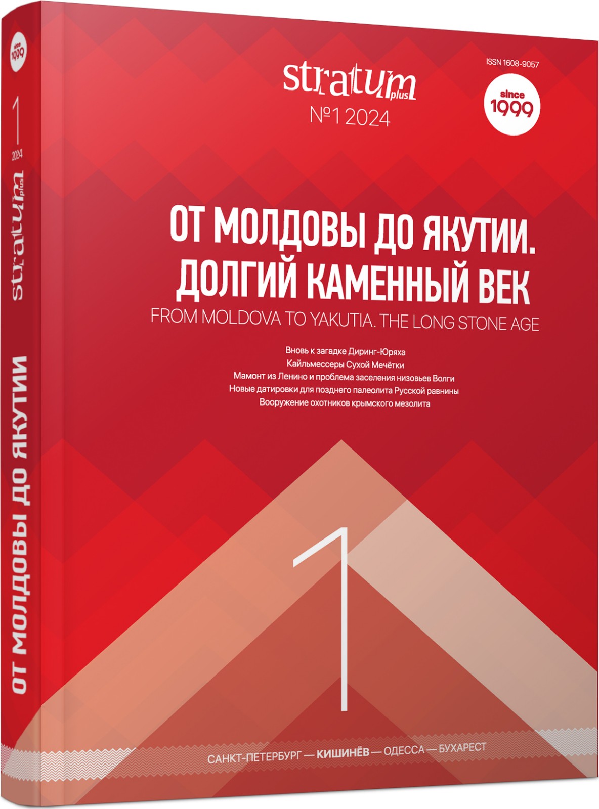
Николаю Кузьмичу Анисюткину — 90 лет!
For the 90th anniversary of the Russian archaeologist N. K. Anisyutkin
More...We kindly inform you that, as long as the subject affiliation of our 300.000+ articles is in progress, you might get unsufficient or no results on your third level or second level search. In this case, please broaden your search criteria.

For the 90th anniversary of the Russian archaeologist N. K. Anisyutkin
More...
For the 90th anniversary of the Russian archaeologist N. K. Anisyutkin
More...
The paper presents and analyzes the materials of new complex works carried ous at the Lower Palaeolithic (Acheulean) site of Ignatenkov Kutok situated at the foothills of the Northwestern Caucasus. It is argued that the site can be dated to the first half of the Middle Pleistocene, MIS 15-13, ca. 610—490 kya. The lithic inventory of the site belongs to the Middle Acheulean, as is evidenced by the presence of various modifications of picks, rough unstandardized bifaces-handaxes, as well as debitage products associated with a simple non-Levallois technology.
More...
The article is devoted to the reassessment of the Diring-Yuryakh assemblage in Central Yakutia. It is argued that the assemblage has no analogues among the Middle and Upper Paleolithic of Northeast Asia. Archaeological materials from Diring-Yuryakh indicate the existence of an Early Paleolithic workshop with an original stone industry in the middle reaches of the Lena River, which in all likelihood should be dated to Marine-Isotope Stage 11 and is therefore considerably older than 300 kyr BP.
More...
The article is devoted to the study of one of the types of Keilmessers, the Volgograd-type knife, from the Micoquian/KMG assemblage of the Sukhaya Mechetka site. For the first time, 3D geometric morphometrics method is used to study the morphology of stone artifacts within the framework of the structural approach, combined with the analysis of flaking systems. The methods used are aimed at highlighting the seriality of individual elements in the structure of artifacts. It allows to offer an up-to-date approach to comparing assemblages with bifacial tools, regardless of their cultural and chronological attribution. In the course of the work it was possible to Point our the seriality of structural elements of the keilmessers of the Sukhaya Mechetka type and to determine their characteristic features. This work represents a stage of research that aspires to identify typological features within the Keilmesser era (Late Auchelian — Early Upper Paleolithic) and, finally, to better understand the cultural and temporal variability of the Middle Palaeolithic Micoquian/KMG unity/technocomplex of North Eurasia.
More...
The find of an incomplete skeleton of the mammoth Mammuthus cf. intermedius near the Lenino village (Yenotayevka district, Astrakhan region) is described. The bones occurred in the layer of continental sandy deposits of the Singil regression (end of the Middle Neopleistocene). The skeletal remains belong to a female with an individual age of 35—40 years. This find allows us to clarify the species diversity of elephants that inhabited the Lower Volga area during the relatively cool phase of the Khazar faunal complex existence. Some bones bear what appears to be traces of ancient human activity including traces of hunting. Traceological analysis of one of the bones makes it possible to suggest the anthropogenic nature and ancient origin of these traces. The available evidence may be taken as an indication that the first humans appeared in the territory of modern Astrakhan Region at least at the end of the Middle or beginning of the Late Neopleistocene (MIS 6 — MIS 5). Previously, it was thaught that humans appeared in this territory only 12—14 thousand years ago.
More...
The Late Upper Palaeolithic of Kostёnki and adjacent territories (~21—12 ka uncal BP/~27—14 ka cal BP) remains the period least well-documented with absolute dating evidence. During this study, 19 samples were collected from the cultural layers of ten sites and submitted to the Oxford Radiocarbon Accelerator Unit (ORAU) for radiocarbon dating. The results obtained significantly advance our knowledge of these sites’ ages and of the development of the Palaeolithic in and around Kostёnki. The new data suggest a unique refugium in Kostёnki during the peak of Late Glacial Maximum (~21—18 ka uncal BP/~27—22 ka cal BP), represented by sites of the Zamyatninskaya culture, which has a specific lithic industry. Sites for that period are extremely rare outside Kostёnki. Similar refugia during the LGM have been recorded in Central Europe in Moravia and the Carpathian Basin. At the time of deglaciation, in the period of ~15—16 ka uncal BP (~20—18 ka cal BP), Late/Typical Epigravettian sites appear on the Middle Don, which seems to be relatively synchronous across wide areas of Central and Eastern Europe. Also worthy of note are sites with a cultural attribution different from the Late Epigravettian (Byki 7, Samotoevka) in the period of ~18—16 ka uncal BP (~22—19 ka cal BP) in the Center of the Russian Plain.
More...
Series of 14C dates from cultural layers (CL) of Byki sites are in the range 1—5 thousand years. Simple statistical processing does not allow to narrow down the age estimates. To assess the reliability of 14C dates, we developed an approach based on the assessment of sedimentation dynamics using luminescence (OSL) dating and age determination of the main lithostratigraphic units. The OSL method was used to date the section of the multilayer site Byki-7 and to obtain approximate differences in the CLs age at different depths. An age-depth model satisfying the dynamics of sedimentation was constructed, and on its basis the age of the CLs and boundaries between litholostratigraphic units was determined. The dates for the remaining sites were verified with respect to the constructed model. As a result, three age groups of CLs were identified. The oldest (~22 cal ka BP) lie on the ancient alluvial surface under the aeolian sand unit. The second group (~21 cal ka BP) — CLs with winter dwelling objects of the Bykovskaya archaeological culture, buried in the aeolian sands. The third group (~18 cal ka BP) — CLs, embedded in loess-like cover loams. There is uncertainty in the age of CLs around the boundary of aeolian and cover deposits due to a possible hiatus, which is not reflected by the age model. Thus, different groups of people inhabited the Byki sites between 22 and 18 ka BP. The carriers of the Byki culture arrived around 21.5 ka BP and their settlement peaked at ~21 ka BP.
More...
According to a widely held view the lithic raw material sources of the Mesolithic industry of Northeastern Fennoscandia were limited by quartz, which is a breakable material unsuitable for blade production. It is thought that the nature of the raw material predetermined the flake-based character of the industry. Rare blades and blade tools are considered imports. However, twenty one Early Mesolithic assemblages with varying numbers of blades have been identified in Northern Fennoscandia recently. The majority of the blades display features diagnostic of pressure and indirect percussion techniques. Similar artefacts were found in the materials of the Butovskaya, Kunda and Veretje cultures. The appearance of such artefacts in Northern Fennoscandia is seen as a result of migrations from the East European Plain. Analysis of the assemblages of the Lovozero 2—6 sites, located in the inner part of the Kola Peninsula, revealed blades (including pressure blades), their fragments, blade tools and core-platform rejuvenation flakes made of flint and local silicified rocks. In addition, information on at least ten sites with flint blades excavated in Northern Karelia in the 1970—1990s can be found in the literature. One more site, Dyalanoja 2, was excavated in 2016 on the Kem’ River. This data calls for a revision of the old view that the Mesolithic industry of Northeastern Fennoscandia was purely quartz- and “flake”-based. Furthermore, new sites have been mapped in underexplored areas along the so-called «eastern» route of settling of the region, bridging the gap between its initial and final points.
More...
During the excavations in the courtyard of the Târgu-Mureş Fortress, traces of several prehistoric settlements were documented. The earliest of these dates from the early Neolithic. The majority of the ceramic material dated to the IIIB phase of the Criş Culture comes from the layer, only a few archaeological features from this period were researched.
More...
The rescue surveys carried out in 2015 at Ernei–Köles-kert resulted in the discovery and unearthing of a large archaeological site, inhabited over several millennia, from the Neolithic to the Migration Period. The traces of the Neolithic settlement, consisting of shallow pits and stone and pottery platforms were found in the southern part of the site, on the first terrace of Mureş River. The finds comprise mainly pottery fragments and it can be assigned entirely to the Early Neolithic Criş culture, most probably to its IIIrd or IVth phase.
More...
Assimilation and national acculturation are inevitable phenomena to which every ethnic community separated from its native environment is vulnerable. The ways and degrees of its manifestation vary, but the direction is the same: mov- ing away from the native national profile and assimilating characteristics typical of the nation and culture of the country of residence. Cases of assimilation also occur to a lesser extent when a nation becomes a minority in its own homeland or when its native environment is absorbed by an empire. The article analyzes such situations among Armenians, specifically in Armenian diasporas. It concludes that the pace of assimilative changes depends on various factors, including maintaining formal points of contact with Armenia (citizenship, organizational ties, owning a house in Armenia, etc.), and a measured and consistent policy of the Armenian state towards the diaspora.
More...
Studies of innovative technologies and their intermingled networks shall help to sketch the development and fundaments of social complexity [Rothman 2004, 75-119] and the formation of political systems in the 4th millennium BC. In the context of visible changes of social structures, a direct relation and reciprocity between knowledge and society is revealed: it is innovations, new production methods and (standardized) production techniques that shed light on these knowledge communities. In order to broaden awareness for diverse human motives and to offer a different perspective on technological and social change in prehistoric societies, an excursus on film art of the Weimar Republic shall widen the perspective on the topic “innovation and change” in the Copper Age.
More...
During the earthworks near Biryuky village in Kyiv region, a hoard consisting of 91 metal items, including 3 silver and 88 bronze pieces, was found. This hoard represents items of horse gear and can be attributed to the early Iron Age – 8th century B.C. This is the first time that such items, typical of Central and South-Eastern Europe, are found in this territory. In terms of the number of the items found, this is one of the largest hoards finds known up to date. Attribution, as well as the spectral composition of the items, has been conducted. The composition of the metal elements allows to suggest Naholniy Ridge in Luhansk oblast to be the source of raw materials for manufacturing the bronze and silver items from the hoard. Thus, the questions arise about the manufacturing place of the items and of the ways the raw materials were delivered.
More...
The article is devoted to the publication of the Early Holocene Kvirike Site in Western Georgia. The site was the ancient hunting camp left by the carriers of Kobuletian Culture (X-VII millennium BC). The authors analyze the typology of artifacts from Kvirike complex, showing that its typology corresponds to the Kukrekian Culture and Donetsk Culture on the territory of Mountainous Crimea, Steppe Ukraine, and Moldova, and M’lefaat Culture on the territory of Iran and Iraq. The similarities of these cultures are best shown in the hunting weapons complexes. The similarities are not only in typology but in the technology of hunting tools production and in methods of their usage were observed. Accordingly, the authors conclude the existence of a zone of material cultures continuity on the territory of the Middle East, Western Georgia, Mountainous Crimea, and Steppe Ukraine. This continuity played an important role in further processes of the Neolithisation of East Europe.
More...
The history of exploration of the fortified settlement (hillfort) of the Final Bronze, Age Dykyi Sad, located in the center of the modern city of Mykolaiv (Mykolaiv oblast, Ukraine) is presented in the paper. Results of 30 years of systematic excavations of the archaeological site are summed up. The authors show the changing dynamics of the site concept, uncover the peculiarities of the settlement planning and building, highlight the finds of material culture in various categories – ceramics, metal objects, lithic and bone produced items. Based on the whole complex of artifacts found at the fortified settlement (architectural structures, material and votive items), it can be argued that the Dykyi Sad arose because of the need to control the trade routes that connected the north-south, east-west of the ecumene. Thus, from the end 13th till the 10th century BCE the settlement fulfilled the function of the economic, cultural, religious, and political center of South-Eastern Europe, remaining the only Black Sea port settlement of the times of the legendary Troy and the Trojan War in the region of the steppe area of the Northern Black Sea region, and which population maintained a close relationship with the surrounding territories. At the time of the fortified settlement flourishing, a clear system of unified settlement planning and development was formed within its territory: a citadel surrounded by a moat, suburbs in the hemisphere of the outer moat, and posad. Thus, we are dealing with a structure that corresponds to the classical concept of ‘urbs’ – ‘city’. The historical phenomenon of the Dykyi Sad goes far beyond the traditional perception of both Bilozerka culture itself and the entire era of the Final Bronze Age in the south of modern Ukraine. In many respects (material culture, economy, crafts, architecture), the Dykyi Sad differs from the concepts that have been developed in science so far. It should also be noted that no traces of the combat assaults on the fortifications and any destruction of its structures as a result of hostilities have been found at the settlement. This fact indicates the military-fortification innovations of the inhabitants of the fortified settlement and the strong fortifications of the Dykyi Sad. Given all the above facts, the fortified settlement of Dykyi Sad can be described as the most striking phenomenon among the archaeological sites of the Final Bronze Age in the south of Ukraine. Undoubtedly, the Dykyi Sad was an important strategic center of the Final Bronze Age in the steppe zone between the Prut and Don rivers.
More...
In 2008, one team of the Center for Archeology of the Academy of Sciences of Moldova carried out archaeological research approximately the village Căplani; Ștefan-Vodă district, of the Republic of Moldova, in the North-Eastern part of the Budjak steppe. This point is located on the right bank of the Lower Dniester. The local toponym is La Yurt. The purpose of the expedition was to protect the study of archeological monuments located in the reconstruction zone of an artificial pond-reservoir and objects partially destroyed because of plantation plowing. The area of the settlement La Yurt was 250×500m. Because of archaeological excavations, a residential building and a sanctuary of the late Bronze Age were investigated. The shape and design features of the dwelling, investigated at the settlement of CăplaniI-La Yurt have analogies with the dugouts of the late Sabatinovka-early Belozerka culture of the North-Western Black Sea region. The excavation materials date back to the XIIIth-XIIth centuries BC. In addition to excavations of a residential building, a sanctuary was explored, which was a stone-earth structure 0.85 m high, 12.5 m in diameter. According to the design features, the number and composition of the offerings found under the backfill, this structure is most likely a stone analogue of ash pans. Details such as the use of fire, the presence of a large amount of various ceramics, human bones, and animal bones indirectly coincide with the composition of artifacts usually located under the mounds of ash pans of the NouaSabatinovka-Coslodjeni cultural massif. At the same time, in the ceramic complex there are features inherent both in the culture of Sabatinovka and in the culture of Belozerka and Early Hallstatt.
More...
Review of: V. Sîrbu, C. Schuster (eds.), Necropolele preistorice de la Brăilița, în zona Dunării de Jos. O nouă abordare, Editura Cetatea de Scaun, Editura Istros a Muzeului Brăilei ,,Carol I”, Târgoviște-Brăila, 2022, 591 p
More...
Numerous remains of ceramic vessels were discovered during the archaeological excavations carried out in 2012 at the site of Glavice near Stara Povljana on the island of Pag. Some of these finds can be attributed to the Late Middle Ages and Early Modern Period (indicated also by the finds of Venetian coins), and others are clearly dated to the prehistoric period, predominantly Iron Age. The aforementioned remains were discovered around and even within the heavily damaged dry stone structures, which, although they cannot be precisely dated to either prehistoric or later periods, indicate the longevity of use of this site for habitation. Due to the context of these finds it is highly possible that the prehistoric settlement was organized on the plateau below the nearby hill and adjacent to the arable field, which is considered to be atypical for the area and indicates a possible change in settlement placement patterns. Therefore, in this paper we shall analyse fragments of prehistoric vessels, their consistency, typology and decorations, and place them in the context of prehistoric finds in the wider territory as well as evaluate the importance of this site in the overall distribution of prehistoric settlements on the island of Pag.
More...
Place names (toponyms) are reflections of landscape appearance, economy, historical development and social relations. They speak of stratification of settlements of a certain territory. During the Bronze and Iron Ages in Istria, hill forts were ‒ in addition to caves ‒ the main settlement type. Up to now, 450 hill forts are identified on the map, and 85 of these (i.e., 19%) are named after saints. On the basis of field research and data from both historical and contemporary topographic maps, a detailed topographical layout of toponyms and an analysis of their distribution have been made in relation to two main physical features, sea and land, and two linguistic areas, Croatian and Italian. Small churches, or their remains, or just the toponyms with names of saints, show the continuity of life in a particular site, as well as the security that was guaranteed within its walls. The most frequent hagiotoponym is St Mary with all of its variants (Sv. Marina [St Marina]).
More...